Garden rooms and outbuildings in Dartford depend on the house. Typical homes here: Victorian and Edwardian terraces around Dartford town centre, West Hill, East Hill and Lowfield Street; Inter-war semi-detached houses in Wilmington, Joydens Wood, Fleet Downs and Darenth. Designations to check first: Thames flood zone north of the A206; River Darent and River Cray flood risk; Green Belt south of the town. Applications are decided by Dartford Borough Council and the Dartford Local Plan 2021–2037.
The permitted development rules for garden rooms and outbuildings
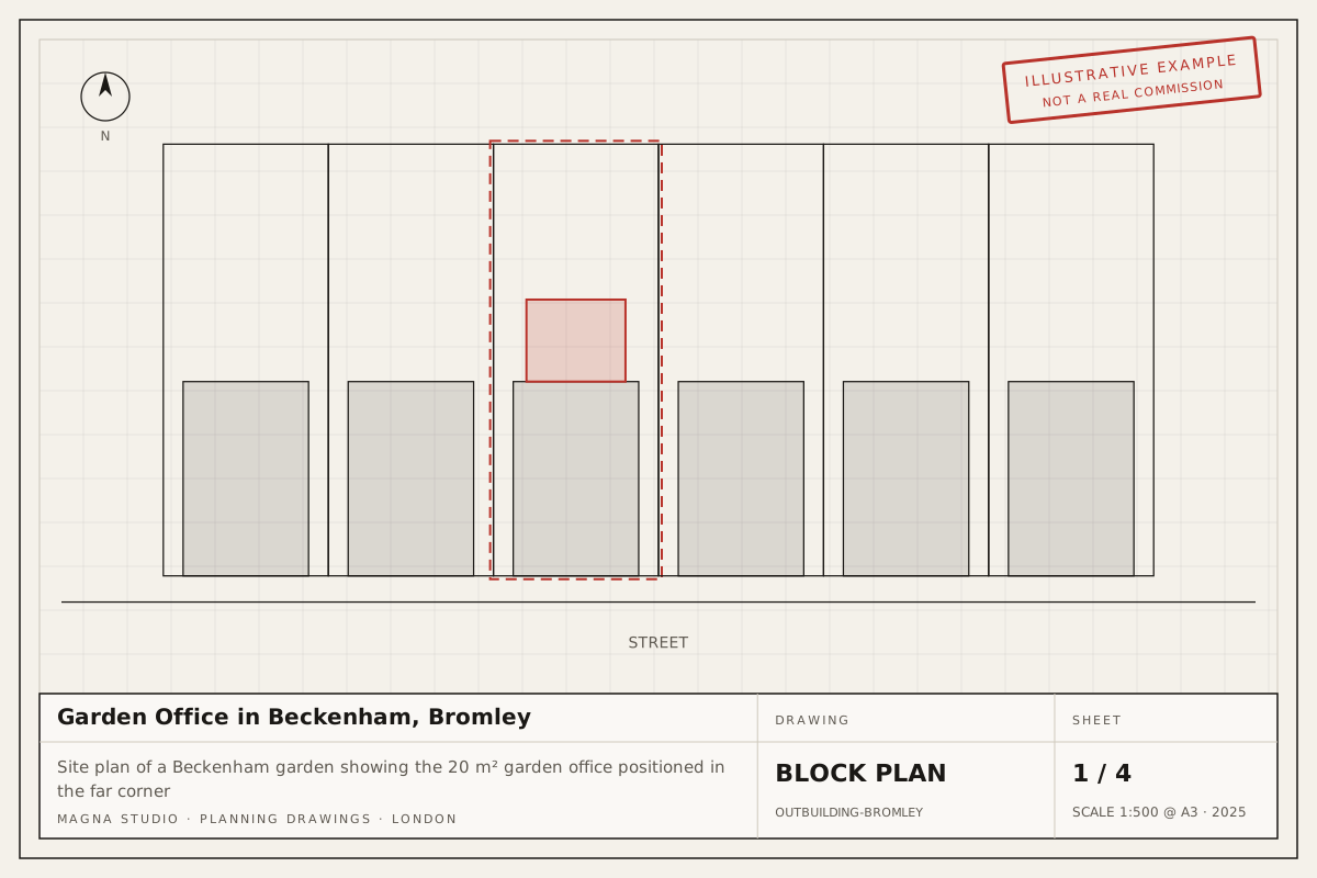
An outbuilding is permitted development on a house if it is single storey, no higher than 2.5 m where it comes within 2 m of a boundary, otherwise no higher than 4 m with a dual-pitched roof or 3 m with any other roof, sits behind the front wall of the house, covers together with other outbuildings no more than half the land around the original house, and is used for purposes incidental to the house rather than as a bedroom or self-contained flat.
Anything used for sleeping or as a separate dwelling needs planning permission regardless of size. Flats have no permitted development rights for outbuildings, and listed buildings need listed building consent.
What changes in Dartford
In a conservation area an outbuilding is still permitted development behind the house, but not to the side of it, and the same height limits apply.
The local constraints that most often decide the route in Dartford are listed below, taken from our Dartford area page. Each one is a reason to confirm the address on Dartford's constraints map before relying on permitted development.
- Thames flood zone north of the A206. Land north of the A206 from Joyce Green and the northern edge of Temple Hill through Stone, Greenhithe and the Swanscombe marshes sits in Flood Zone 3 behind the Thames tidal defences. Source
- River Darent and River Cray flood risk. The River Darent runs through Dartford town centre and up the valley through Hawley, Sutton-at-Hone and Darenth, and the River Cray joins it at the borough's western edge. Source
- Green Belt south of the town. Much of the southern half of the district, including the countryside around Wilmington, Hawley, Darenth, Bean, Southfleet and Longfield, is Metropolitan Green Belt. Source
- Conservation areas. Dartford has conservation areas covering parts of the town centre around High Street and Holy Trinity, Wilmington, Stone and several village centres. Source
- Listed buildings. Holy Trinity Church and the older buildings of Dartford High Street, the church and cottages at Stone, Wilmington, Darenth and Southfleet, and Sutton-at-Hone contain listed houses and churches. Source
What Dartford planning officers look for
In Flood Zone 3 north of the A206 they expect a flood risk assessment with any ground-floor extension, and in the Green Belt to the south the disproportionate-additions test applies, usually measured by floorspace and volume. Common refusal reasons are full-width box dormers, side extensions that create a terracing effect, and ground-floor extensions in the flood zone without a flood risk assessment. Outside conservation areas, hip-to-gable and rear-dormer lofts within the 40 m³ or 50 m³ allowance are routinely lawful and we secure a Lawful Development Certificate as proof. Dartford offers a paid pre-application service.
Fees and timelines
Dartford decides a householder application or a Lawful Development Certificate within 8 weeks of validation. The council fee is £528 for a householder application and £264 for a Lawful Development Certificate (England, from 1 April 2025; verify before applying).
Our own fee is fixed once quoted. The quote tool gives an indicative figure in minutes and a written quote follows within 24 hours.
Primary sources
- The Town and Country Planning (General Permitted Development) (England) Order 2015, Schedule 2: the permitted development limits quoted above.
- Planning Portal: do you need permission: the national guidance and the application service every council accepts.
- Dartford Borough Council: planning: the council's own constraints map, validation checklist and pre-application service.